Developing your wildlife identification skills is easier than ever, with so many accessible resources available meaning you no longer need to lug huge textbooks out into the field with you! With so many websites, guidebooks and social media accounts to choose from, we have compiled a list of our favourite apps so you can get started!
Merlin BirdID
If you’re wanting to improve your bird identification, this is the app for you! The app was created by the Cornell Lab of Ornithology and taught to recognise species using eBird, which has >3million descriptions in order to narrow down options to determine what bird you are detecting. The app has several different methods to help find this out. My favourite is SoundID, where I take a recording and Merlin suggests what species it thinks I am hearing. I can then compare my recording to previously recorded songs and calls by that species so I can doublecheck! There is also a Photo ID feature, which is self-explanatory, as well as the Bird ID Wizard, which involves answering three questions about the bird you can see and it will suggest some potential matches.
Merlin covers lots of areas across the globe, and we recommend playing around with the different features to discover what birds are nearby! If you are hoping to use it at one of the Opwall field sites, make sure you have that region downloaded on your phone beforehand.
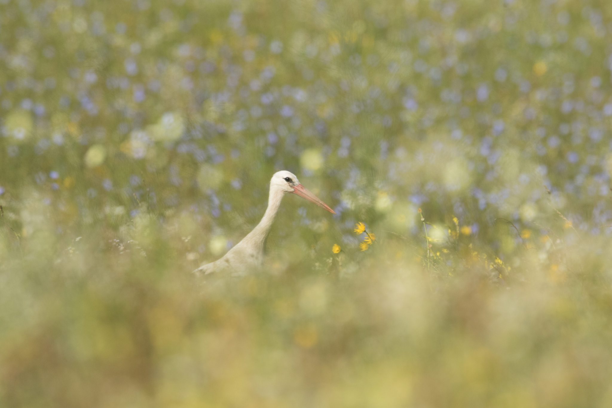
Photo by Ben Porter
iNaturalist
This is a brilliant app for identifying wildlife you can photograph, such as plants, fungi and invertebrates. iNaturalist uses both the community and AI to suggest species identifications, and is a really good way to start becoming more familiar with the wildlife around you and to keep track of your identifications. As part of the community you can also identify species for other people! The data is shared with some scientific databases, so your observations can contribute towards biodiversity monitoring projects!
Seek
Seek is what I like to describe as the PokemonGo version of iNaturalist! This is a child-friendly version with real-time identification, and the data is not shared publically. You can earn badges for your observations and can also take part in challenges. The app is really user-friendly, and identifications are based on image-recognition from observations that are sent to iNaturalist. Why not try and see which one you prefer!
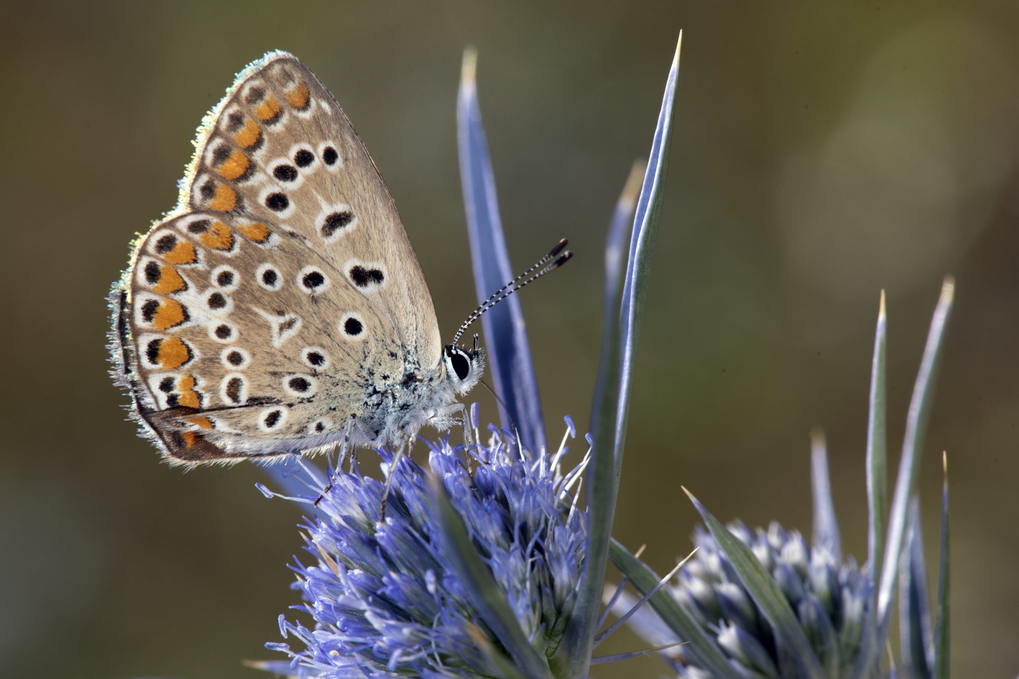
Photo by Dave Bird
iRecord
iRecord is again similar, but this is a UK-specific app. You submit observations via photographs just the same, but here they are identified by taxonomic experts rather than AI and the community. Once identified, the records are made available via the Biological Records Centre to support with research, conservation and decision-making at various levels across the country. This app provides a more robust identification than iNaturalist, however it is not instantaneous so it’s use in developing ID skills may be less direct.
TreeID
TreeID is run by the Woodland Trust, and enables you to identify tree species from parts of the tree, like leaves, bark, flowers or fruit. You can answer some questions in order to get an identification, and this is a great way to get familiar with the defining characteristics of each species, which you sometimes miss out on when the app identifies it for you from a photo. This is a great way to learn to recognize species, so why not check it out!
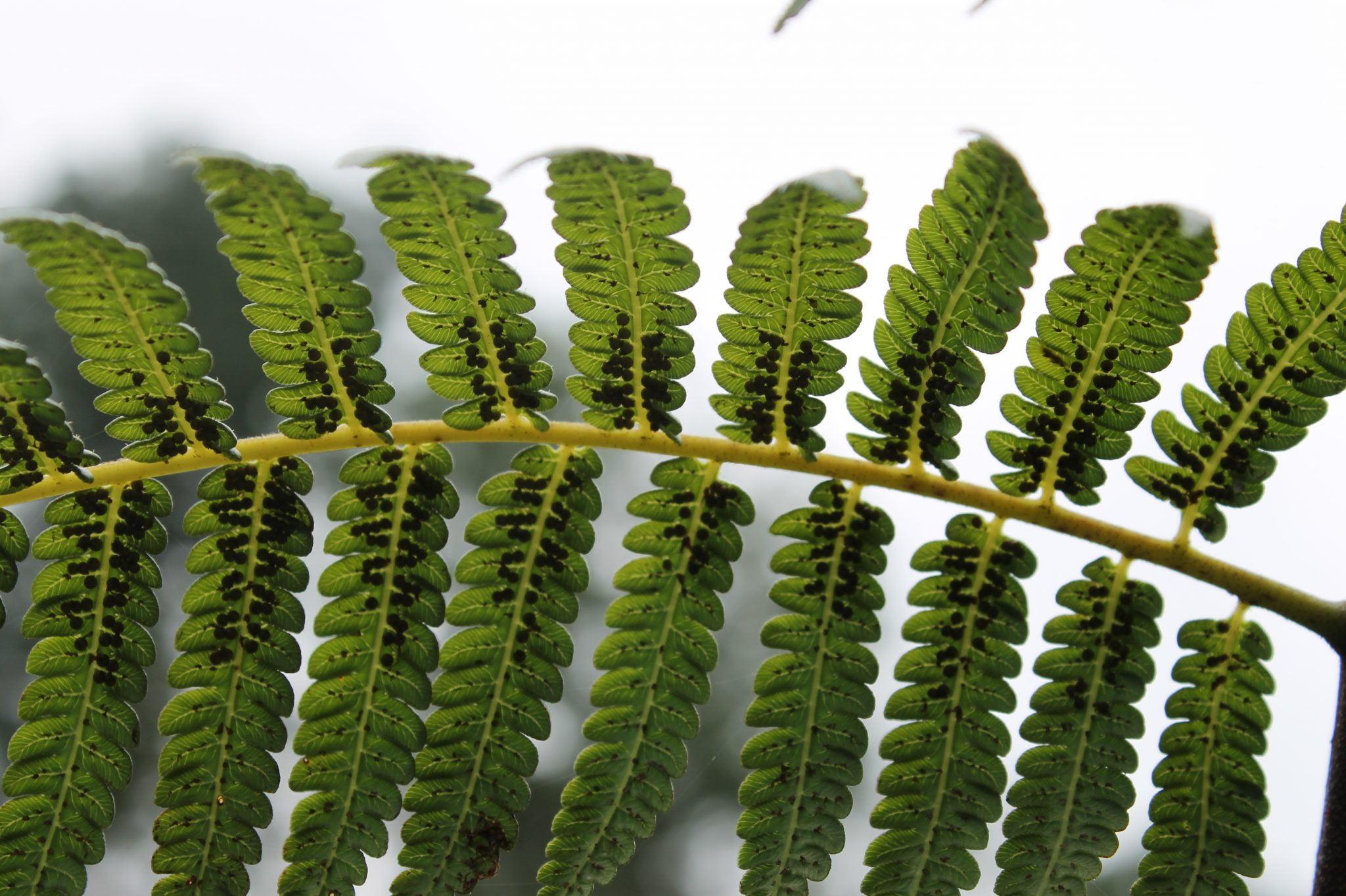
Photo by Megan Lock
PlantNet
With this app you take several photos of a plant, specifying which aspect is in each photograph (for example flower or leaf), and the app gives you a list of possible identifications, ranked by certainty so that you can compare your specimen with photos taken by others to determine what you have. The data is also used to train the AI and within projects on plant biodiversity.
BigRiverWatch
If you are based in the UK or Ireland and are interested in supporting monitoring efforts, why not try the BigRiverWatch app? A survey takes only 15mins, and is great for making you consider the health of our waterways by asking about signs of pollution, and what wildlife is present.
W3W
What 3 Words is a great app to have handy when you are out surveying, as it means you can record exactly where you saw/heard/detected a species! Lots of apps need location data so this is a great one to get familiar with. It’s also really useful in case of emergency, so if you are adventuring off the beaten track make sure you have this app downloaded.
We use What3Words in particular at our UK field site, so make sure you have this downloaded before you arrive.

While there are fewer apps to support with marine species ID (for obvious reasons to do with phones and water), there are still lots of cool citizen science projects supported by apps which you can get involved with, and they are a brilliant way to further your interest in the natural world.
Clean swell
This app enables you to log the marine waste you collect, which allows scientists and policymakers understand trends in marine pollution and is important for determining how to tackle marine waste on a global scale.
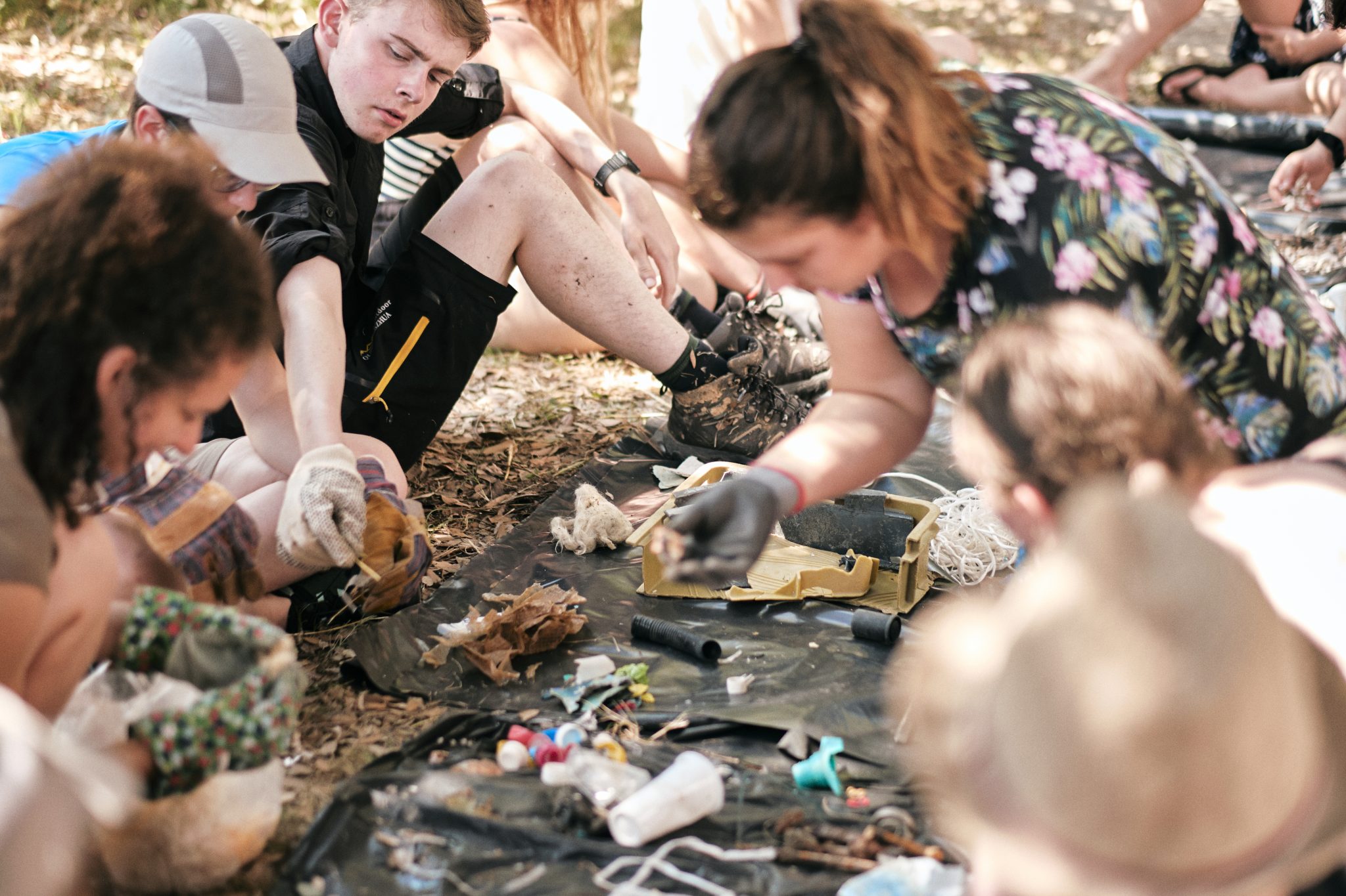
Photo by Shearer Shez Viljoan
Marine debris tracker
This is similar to Clean Swell, however this app is not just for ocean waste! Even if you live nowhere near the coast you can use this app to report on pollution. So far they have supported the collection of over 9 million items of debris, and a great aspect of this one is that you can view data from all over the world.
PADI AWARE
PADI Aware Foundation have set up the PADI AWARE app, which is a portal that you can use to report and share information about marine debris you find while diving. It also allows you to track your own personal impact on ocean conservation, as well as to take part and connect with global initiatives for marine protection. If you are a diver consider checking this one out!
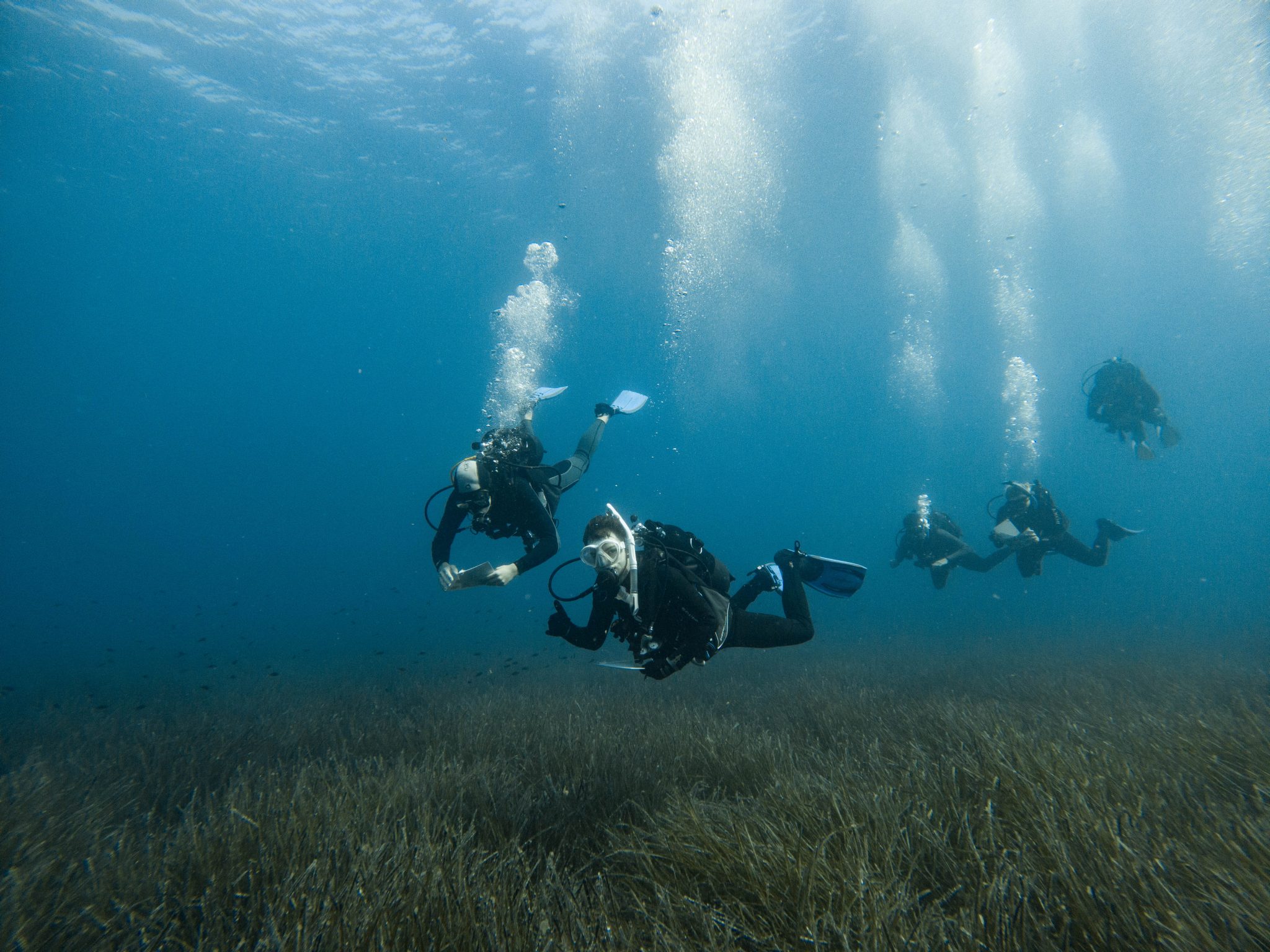
Photo by Frances Budd
Seagrassspotter
This is app is run by Project Seagrass, and allows you to submit photos and information about any areas of seagrass you find. It helps you to identify species, but the data is also used to build an understanding of where seagrass is found, in order for Project Seagrass to help protect and conserve it. If you live near or are visiting the coast make sure you keep an eye out and record what you find, as seagrasses are vulnerable to pollution and damage, so recording their location through the app enables researchers to monitor the health of seagrass meadows.


© 2026 Operation Wallacea Ltd. Website by Yello Media.
Social Media Links